Cesium globe or terrain scene
Research Studio / Services
Spatial experience
3D Geospatial Visualization
Three-dimensional geography is most valuable when depth, camera movement, terrain, and atmosphere improve interpretation rather than conceal weak data behind spectacle.
Scope
Designed for institutions and difficult source material
Cesium 3D globe development, terrain visualization, heritage experiences, and source-aware geospatial interfaces designed for public research.
The engagement is structured around the actual research object and the public responsibility of the finished work. Existing data is evaluated before new collection begins, and visual design follows the evidence model rather than replacing it.
- Museums and exhibitions
- Heritage projects
- Research institutions
- Documentary teams
- Publishers
- Public geographic platforms
Deliverables
Production deliverables
Camera paths and geographic presets
Source-aware markers and object cards
2D-to-3D layer translation
Terrain, imagery, atmosphere, and lighting strategy
Performance plan for desktop and mobile
Method
Research discipline before interface spectacle
Begin with geography
The initial camera, scale, terrain, and layer order are selected according to the subject rather than a generic globe treatment.
Preserve thematic color
Existing atlas categories and legends can be translated into 3D without changing their meaning or introducing arbitrary colors.
Control density
Distance-based visibility, clustering, scale conditions, and progressive loading keep large collections legible.
Design object inspection
Selection, hover, camera flight, photographs, sources, and record details form one consistent interaction model.
Applications
Where this practice operates
Heritage worlds
Monuments, ancient cities, cultural landscapes, photographs, periods, and interpretive camera journeys.
Earth systems
Terrain, elevation, water, geology, vegetation, settlements, transport, and national geography.
Global place collections
Large point corpora displayed through globe-scale density, filtering, search, and guided regional views.
Field perspective
Depth must clarify geography
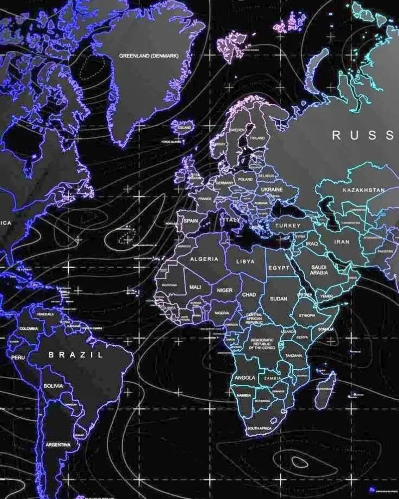
Terrain, scale, camera movement, density, and thematic color work together to reveal spatial relationships rather than decorate them.
Evidence of practice
Related public systems
Questions
Technical and methodological answers
Does a Cesium project require large local imagery storage?+
Not necessarily. A project can combine lightweight local vector records with responsibly selected external imagery and terrain services.
Can an existing 2D atlas become a 3D experience?+
Yes, but layer semantics, legend categories, geometry types, and scale behavior should be reviewed rather than copied blindly.
Can the scene remain usable on phones?+
Yes. Mobile camera defaults, reduced visual density, touch controls, panel layout, and resource budgets are designed separately from desktop behavior.
Commission
Build the system the subject requires
Begin with the research question, available evidence, geographic scope, intended audience, and required public result.
Start a project inquiry