Monument and settlement inventory
Research Studio / Services
Memory and place
Cultural Heritage Mapping
Heritage mapping must preserve more than coordinates. It must connect a monument or settlement with names, periods, communities, photographs, condition evidence, archival references, and the limits of what is known.
Scope
Designed for institutions and difficult source material
Cultural heritage GIS, monument mapping, historical settlement databases, condition evidence, and digital memory systems designed by Ararat Petrosyan.
The engagement is structured around the actual research object and the public responsibility of the finished work. Existing data is evaluated before new collection begins, and visual design follows the evidence model rather than replacing it.
- Museums
- Heritage organizations
- Archaeological teams
- Community archives
- Universities
- Cultural foundations
Deliverables
Production deliverables
Condition, continuity, and risk fields
Photo and archival reference linkage
Historical names and period classification
Heritage map or 3D experience
Moderated contribution and correction workflow
Method
Research discipline before interface spectacle
Separate evidence classes
Built heritage, cultural memory, destruction evidence, continuity, and contextual geography remain analytically distinct.
Protect provenance
Every public claim can retain its institutional source, citation, acquisition date, identifier, and review state.
Map with restraint
Symbols and layers are designed to reveal patterns without turning uncertain or sensitive records into false cartographic precision.
Support continuity
The system can accept moderated corrections, new photographs, improved coordinates, and additional institutional sources over time.
Applications
Where this practice operates
Monument atlases
Churches, monasteries, fortresses, bridges, cemeteries, museums, schools, ruins, and archaeological sites.
Lost and transformed places
Former settlements, vanished capitals, abandoned towns, displaced communities, and changing cultural landscapes.
Condition and continuity
Source-linked evidence about survival, damage, restoration, access, use, and memory.
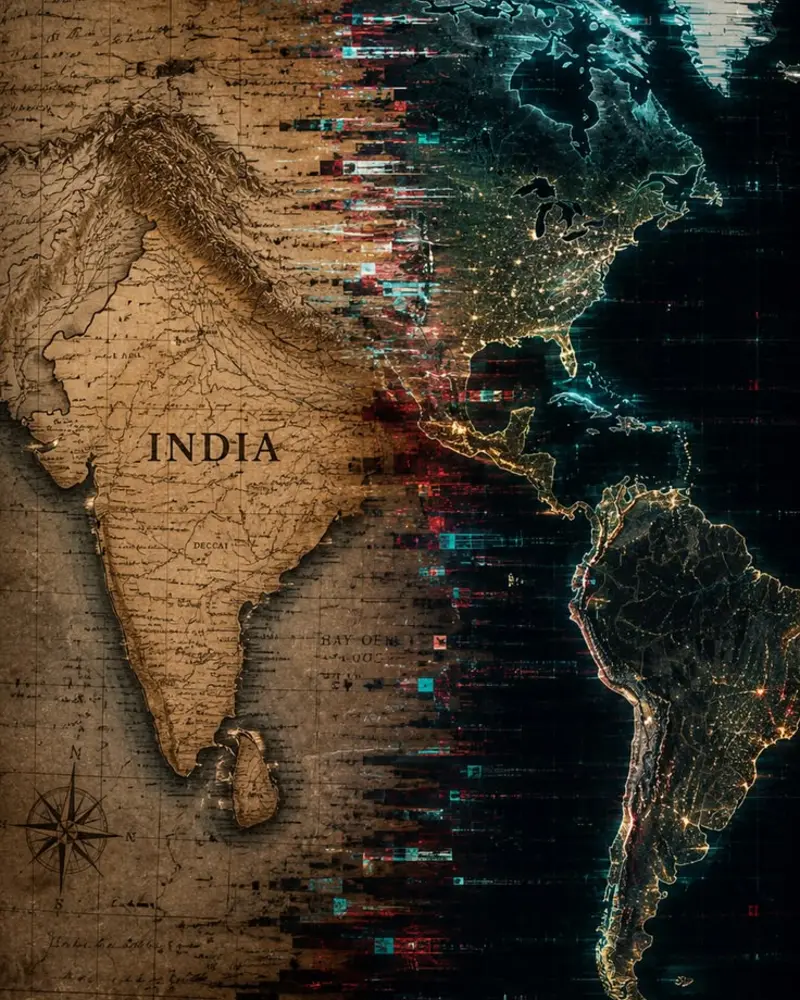
Field perspective
Memory is mapped through evidence
Cultural landscapes become intelligible when objects, communities, periods, condition records, and archival references remain connected.
Evidence of practice
Related public systems
Questions
Technical and methodological answers
Can community contributions be accepted safely?+
Yes. A moderated intake can store suggestions without allowing direct public edits. Records are reviewed, normalized, sourced, and approved before publication.
Do photographs have to be stored on the project server?+
Not always. Reliable institutional image URLs and rights metadata can be referenced, while selected licensed media can be locally preserved when appropriate.
Can the system distinguish a monument from an event record?+
Yes. Heritage objects, historical events, condition observations, memory records, and contextual layers should use separate schemas and visual treatments.
Commission
Build the system the subject requires
Begin with the research question, available evidence, geographic scope, intended audience, and required public result.
Start a project inquiry